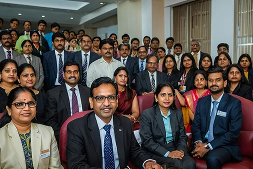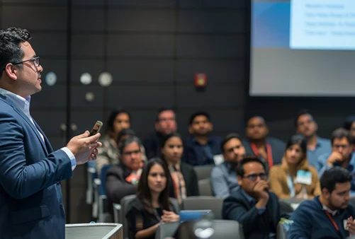
The Data Science and Analysis vertical builds analytical and technical capabilities for environmental research and decision-making. Courses include GIS, remote sensing, spatial mapping, and data-driven assessment methods. Participants learn how to analyse environmental data, interpret satellite imagery, and generate actionable insights that support planning, monitoring, and policy development.
- Training in GIS, remote sensing, and spatial data analysis
- Use of satellite imagery for environmental monitoring
- Data-driven decision-making for planning and policy
- Tools for environmental modelling and assessments
- Integration of technology with governance frameworks
- Environmental analysts and researchers
- Government officials involved in planning and monitoring
- GIS and remote sensing professionals
- Data scientists working in environmental domains